 01
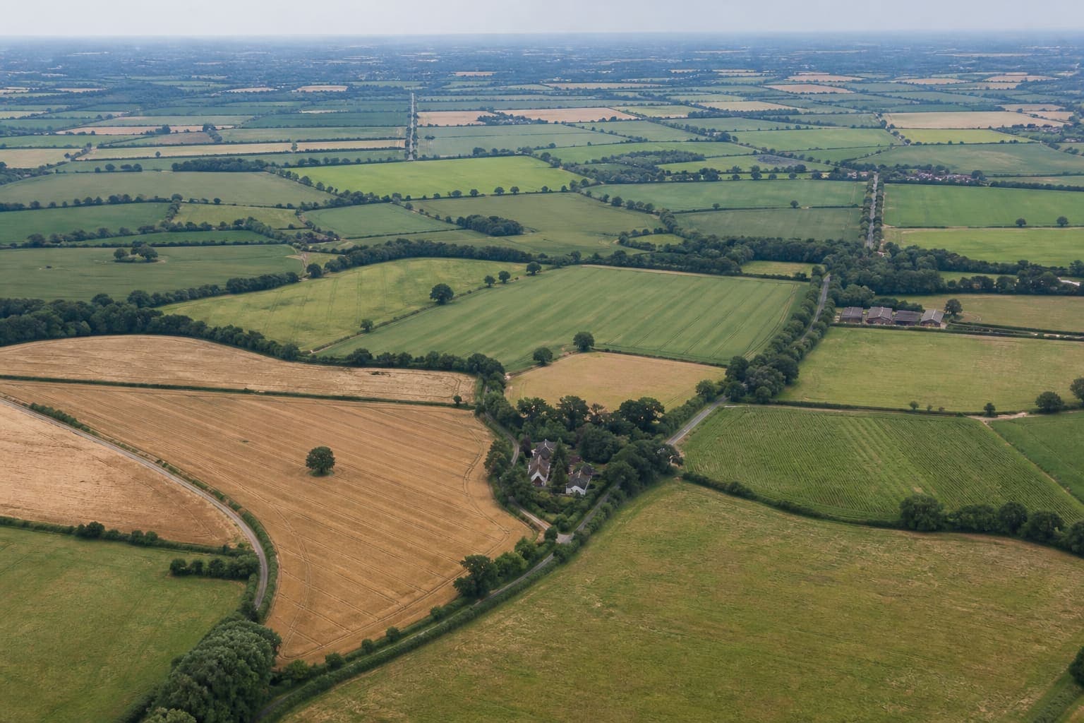
01Baseline Condition Report
Create a comprehensive dated record of your land today.
Essex Land Condition Surveys
Independent, dated condition reports for farms, estates and development sites across Essex.
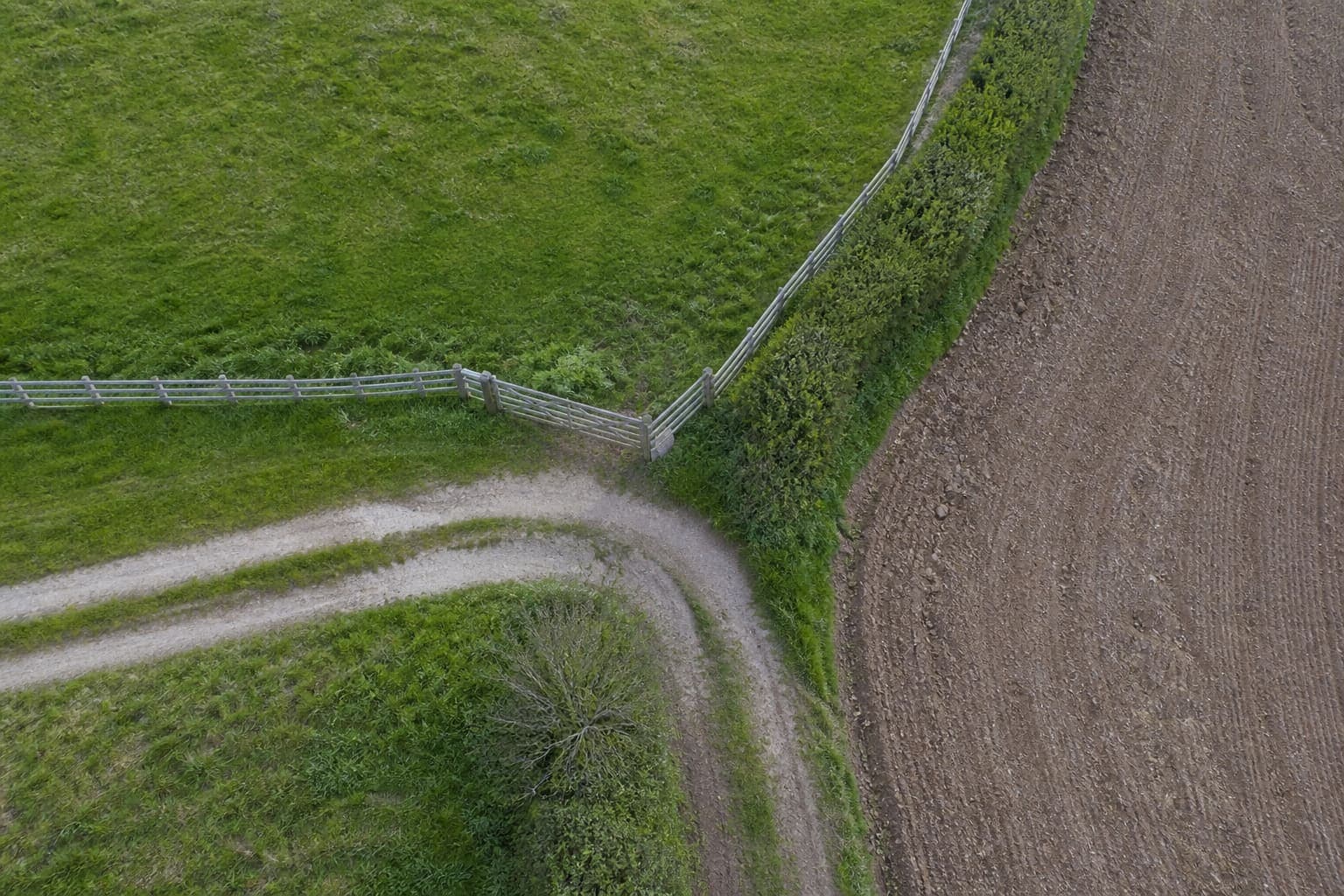
Document boundaries, access, fencing, drainage, dumping, storm damage and other visible changes — with aerial and ground-level evidence organised into a clear report.
No obligation · Tell us about your land
Services
01Create a comprehensive dated record of your land today.
 02
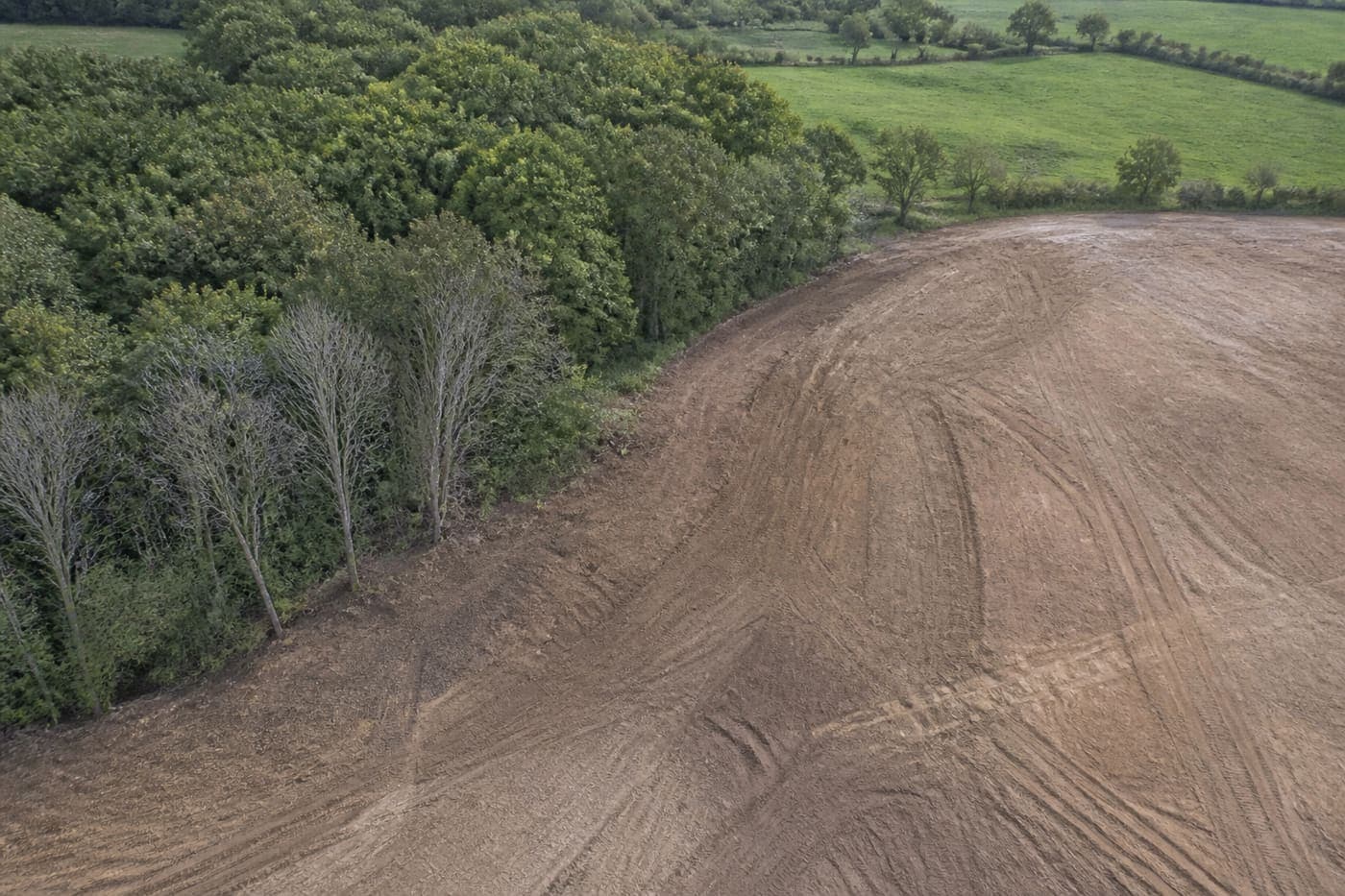
02Independent evidence before contractors arrive and after they leave.
 03
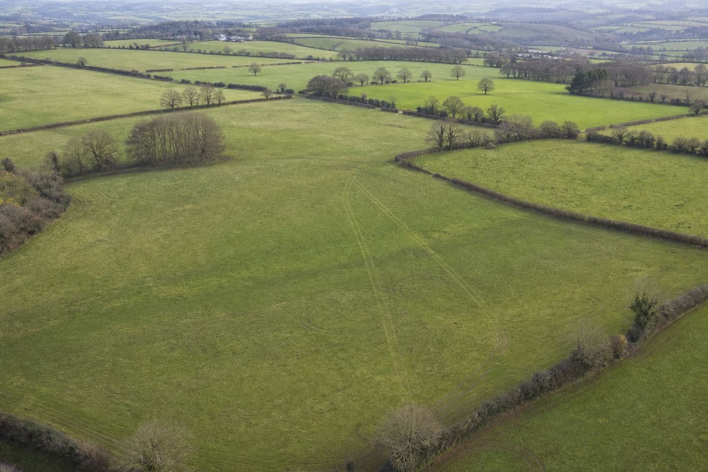
03Repeat the same inspection and see exactly what’s changed.
Our approach
Documented land intelligence — not drone photography. The flight is how the record is made. The report is what you keep.
April 2026
August 2026
Your report
A clear land condition report with marked observations — not a folder of unsorted aerial photographs.
01
Send the location and what needs documenting.
02
The site is systematically photographed and documented.
03
A clear dated record of observations and supporting imagery.
04
Book another survey later and identify what’s changed.
Practical records for people who need evidence — not marketing photography.
Coverage
Primary coverage from Epping outward
Pricing depends on acreage, access and whether you need a one-off baseline or a repeat programme. Tell us about the land and we’ll quote before any survey is arranged.
From small paddocks and yards through to larger farms and estates. We’ll confirm what can be covered cleanly in a single visit when we discuss the site.
Aerial photography is one of the tools used to build the record. What you’re buying is the dated condition report and, if required, the comparison over time — not a folder of drone shots.
Yes. Monitoring surveys follow the same structure so later visits can be compared against the baseline — what changed, and what didn’t.
That’s exactly what Pre & Post Works is for: an independent record before contractors arrive, and again after they leave.
Agreed features with supporting imagery — typically boundaries, fencing, gates, access, drainage, dumping, storm damage and other visible conditions — organised into a clear dated report.
Request a survey quote — or call and talk through the site. Many landowners prefer to explain the job once on the phone.
How surveys are carried out
Where a survey involves aerial capture, flying is undertaken by appropriately qualified and insured operators, subject to site assessment and applicable flight restrictions. Exact arrangements are confirmed once we’ve discussed the land and what needs documenting.